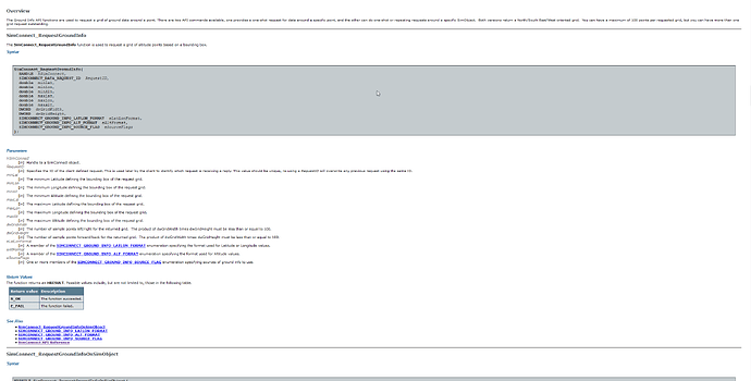
Having a native API present for both WASM and JS gauges which can return
terrain elevation data at multiple distinct points over a defined area is
necessary for creating a proper custom terrain radar, as well as vertical
situation display, and enhanced GPWS. There is a function in P3D which
accomplishes this via SimConnect - however, given the lack of an efficient
data bus between WASM and JS, also having this available natively in JS would
be greatly appreciated:
A simple ray cast function would suffice.
For a terrain radar yes. Some aircraft (e.g. Airbus) use a terrain database
for their terrain display rather than a radar, so they can “see” beyond closer
high terrain.
Hello, We plan to add a Terrain API next year, we will communicate as soon as
we get started about the exact features that it will offer.
Is there some progress on this?
Bump. Any terrain API in 2024?
