Marketplace package name: Any of the French Airbases released by Miltech Simulations
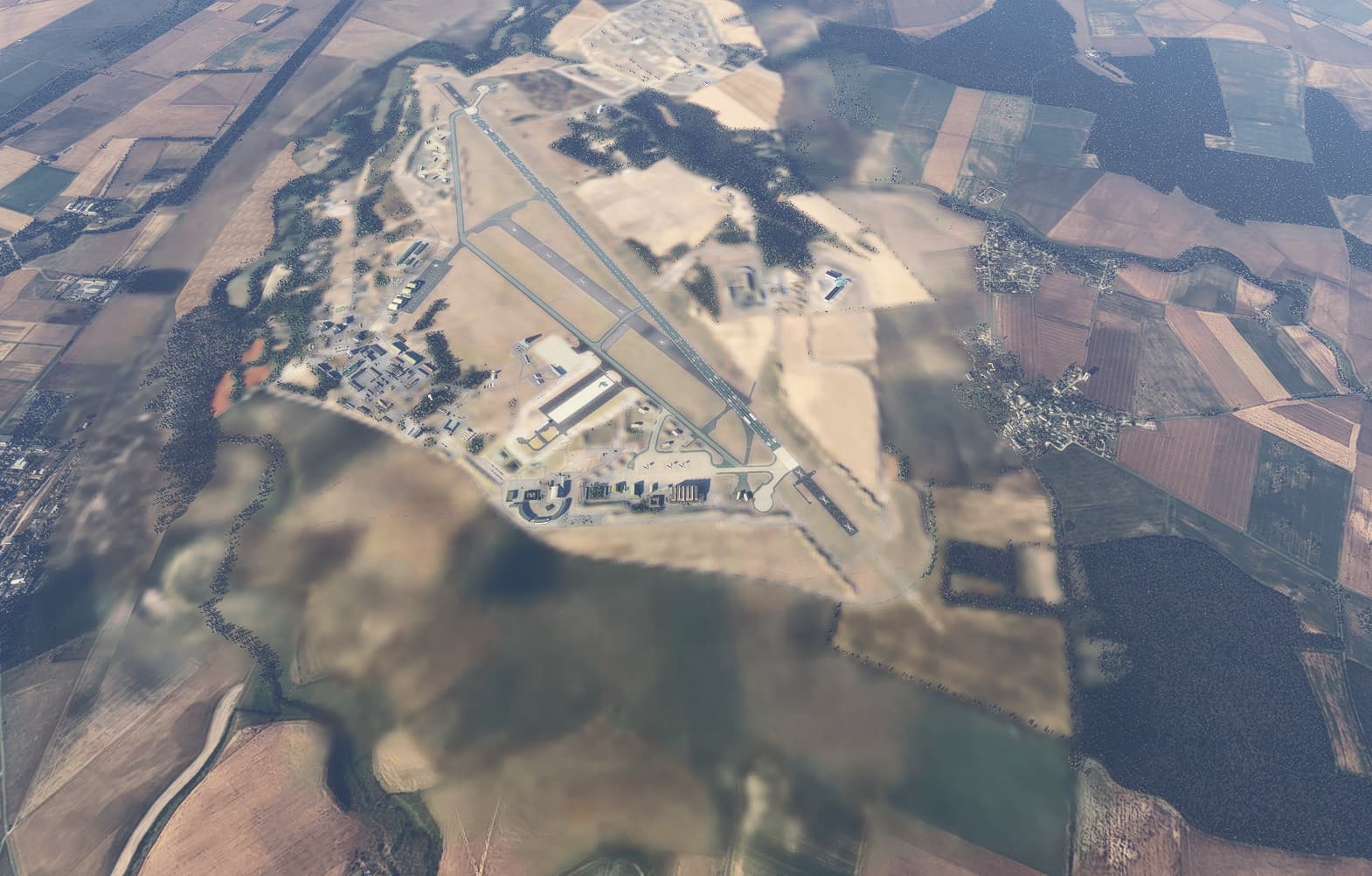
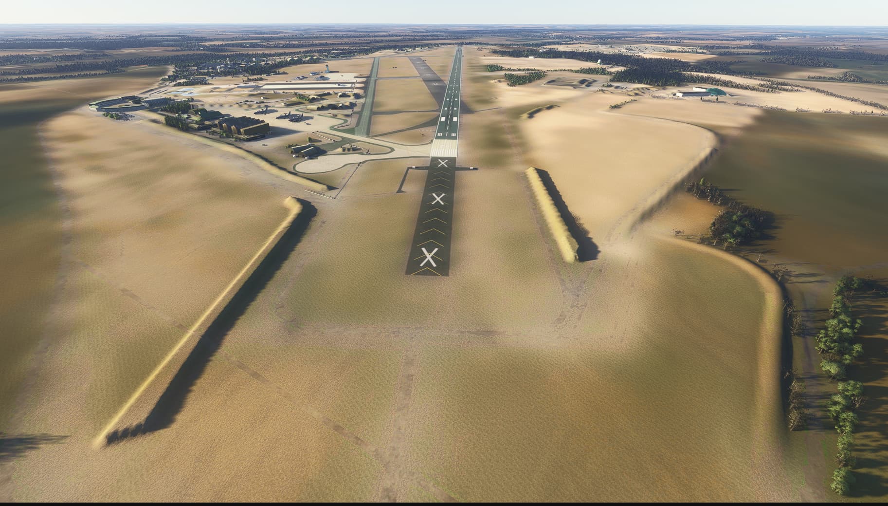
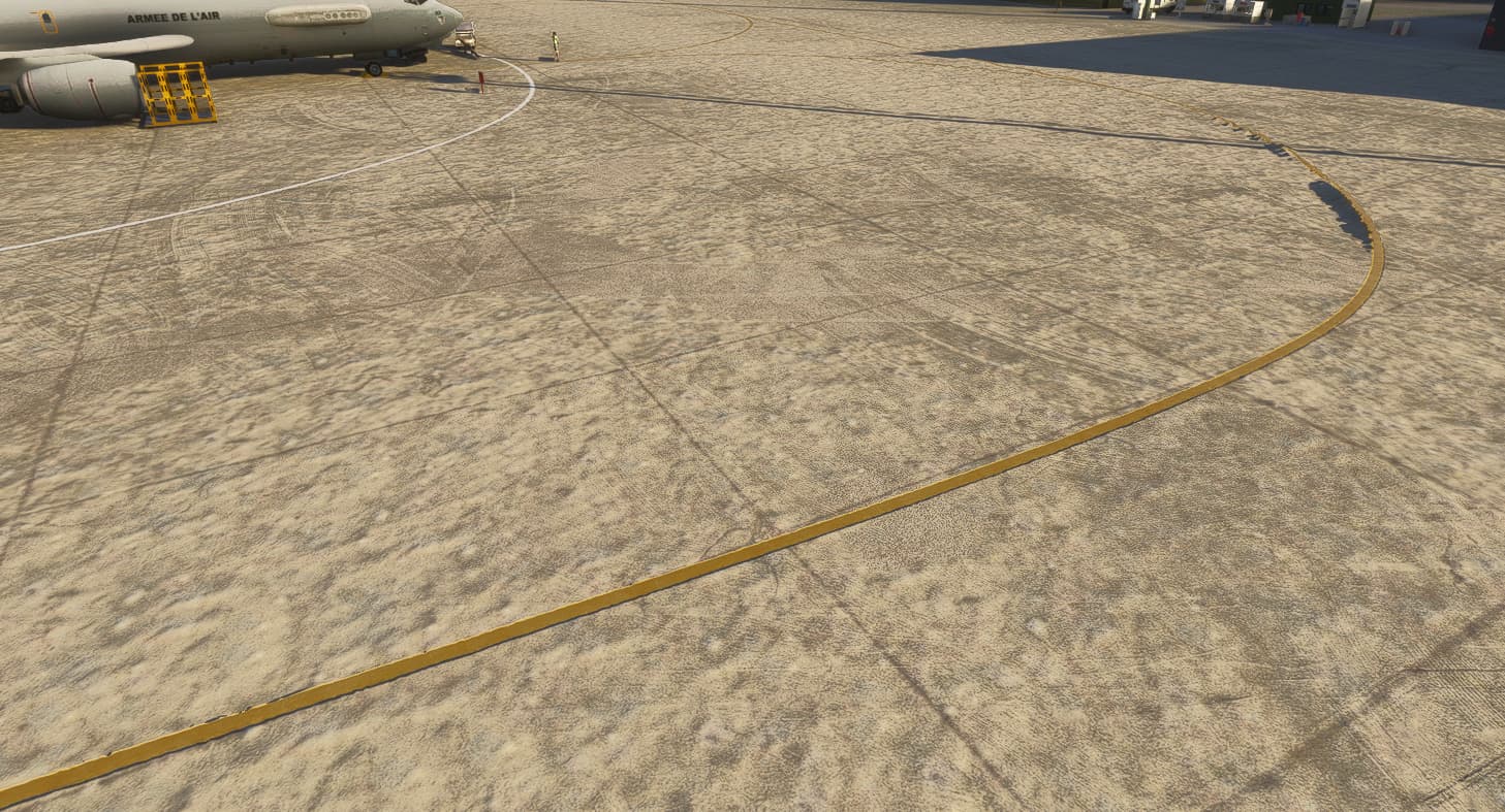
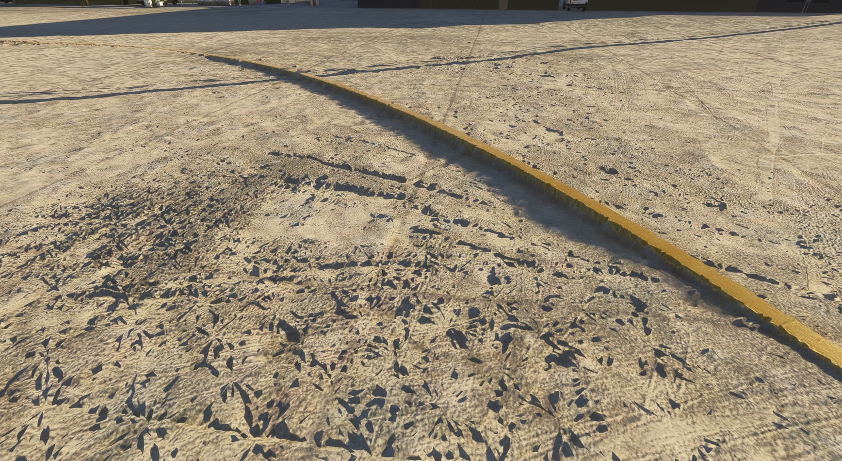
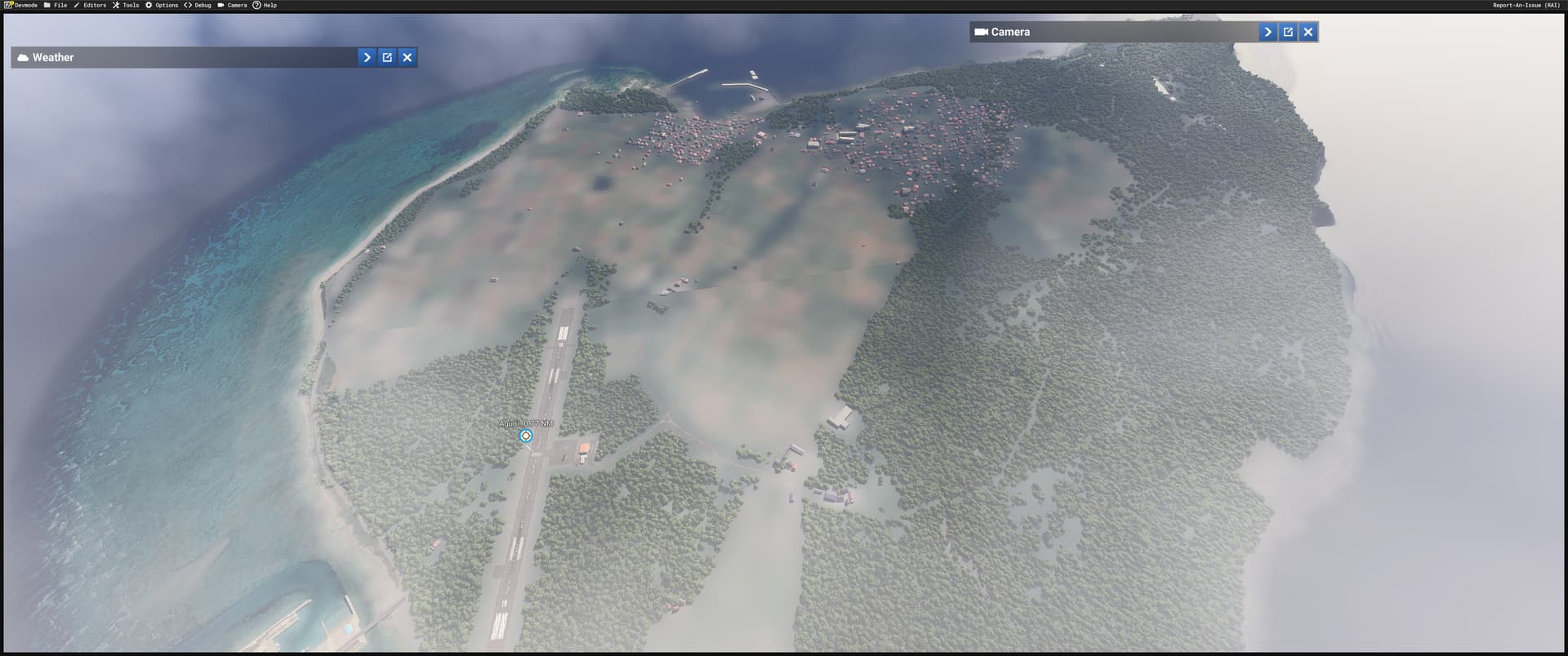
Bug description: On regions where bing maps is not available (censored or for whatever reason not available - eg. Northern Canada, areas of Greenland, airports and airbases in some countries), custom CGLs look incredibly blurry, as if a much lower resolution satellite image is taking priority over the CGL. For example, we have high quality custom CGLs for these two airports in France, which are not covered by Bing. The custom CGL covers the entire perimeter around the airport, but as you may see from the screenshots, the result is a blurry mess. This does not occur in FS2020 - the censored area would be covered by landclass and the custom CGL will render above.
This could be easily executed by applying a landclass instead of blurring it all, including aprons, as it has been done in FS20.
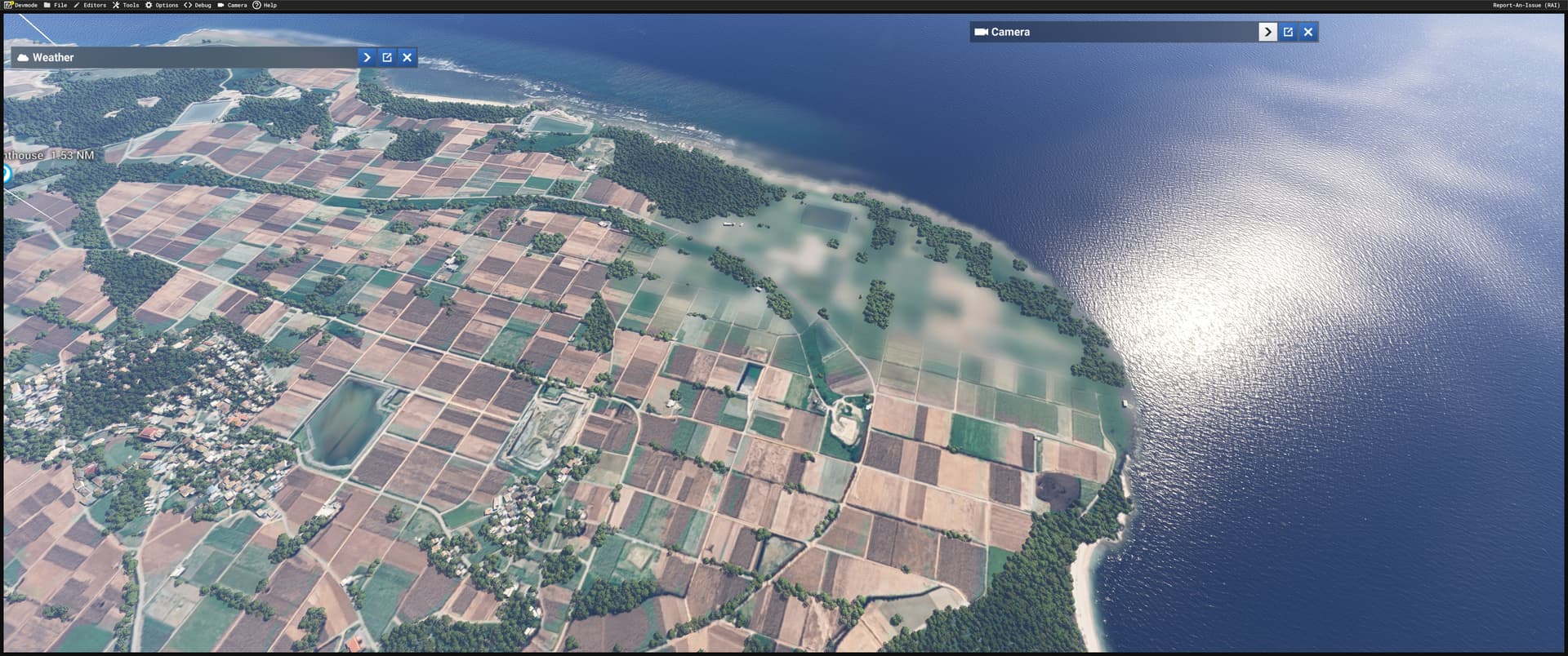
This also occurs in “non-censored areas”, but areas with lack of good coverage of satellite imagery, such as some islands in the pacific, northern Canada, Greenland, etc.
So still waiting for an official reply as it seems to be a bug!
It all seems to indicate custom CGL will render at the resolution set by Bing. If the source Bing imagery is low res, and higher res custom CGL is added to the simulator, the rendering resolution will continue be set to whatever the source Bing imagery is.
This therefore will affect any area where Bing coverage is limited or lowres.
Yes please, we need fix for this. I am also working on an aiport, where there was a cloud on Bing maps. In the sim the cloud was kinda removed, but thanks to it I am not able to fix this with my custom CGL. It works in 2020 but not in 2024.
There is a fix candidate for this in Beta SU2 1.4.7.0.
Your aerials should now be visible, although the changes in terrain rendering technique is still likely to give a different result than on 2020.
Please have a look and let us know if this is good enough for you.
I’m not sure what you mean by “water masking”.
Low res area will now use secondary aerials as they used to.
If you want me to check some other packages, let me know their title on the marketplace or send them through the @PrivateContent channel.
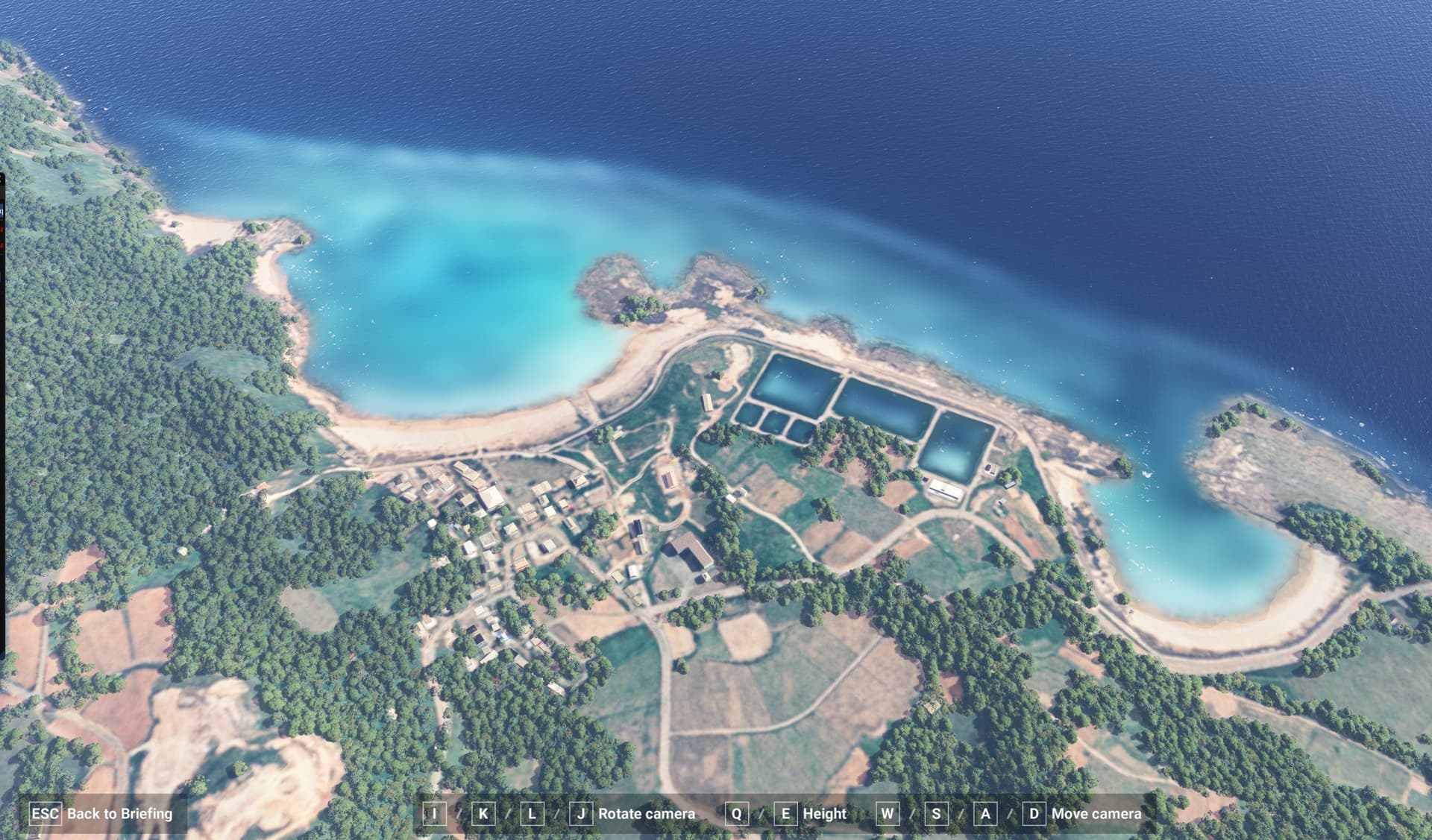
what I was thinking of to be clear: from this image you can see the underwater mask is blurred; this also occurs if a secondary aerial is applied; and stay blurred regardless; I was asking if the fix included in the SU2 (if it make it) would fix this kind of problem.
@SPQR I believe water albedos can only be edited through WAB*.cgl files, which do not seem to be open for editing through the SDK at this stage (like other CGL filetypes). See my post here.