Hi.
I’ve achieved some progress with my airpark and finished several tasks and I am about to start the hard bits.
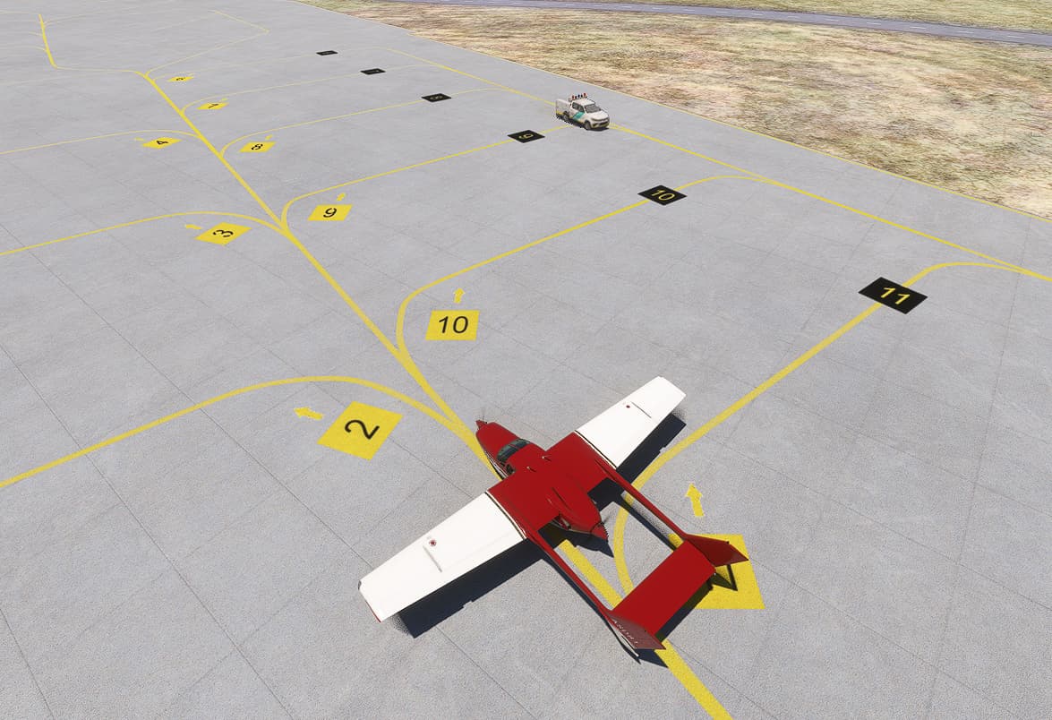
I’ve done the rumways, taxi ways, aprons and parking spots, even placed some of the taxi signs, but I need some guidance about a couple of things.
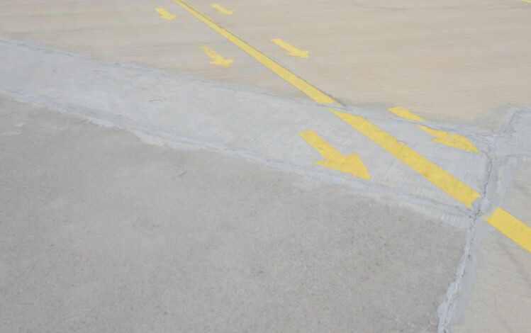
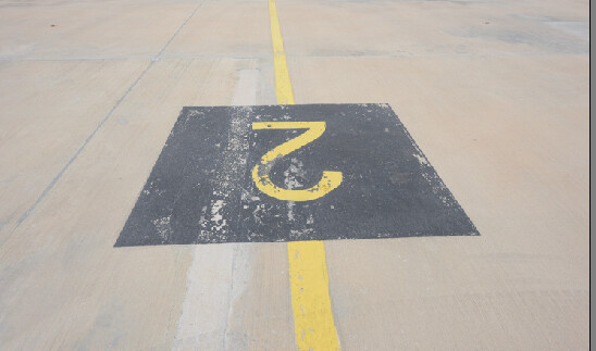
- As the thresholds of the runway are not standard, I can not use the default ones. Similarly, the parking markings are different. There some ground textures that I photographed in my last visit…
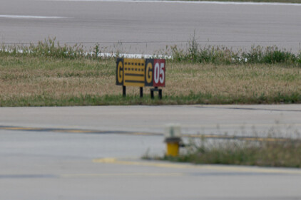
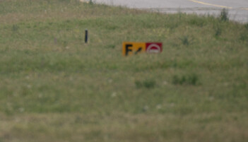
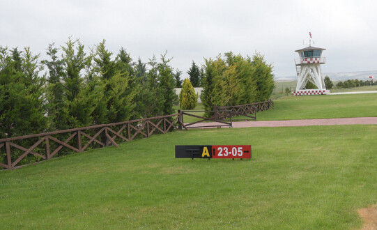
To cut the long story short, it seems I will have to work with custom textures. I’ve searched Youtube a lot but although there are some tutorials, I couldn’t find something to guide me on how to prepare a new texture. I have the right font.
Can someone point me to the right direction?
-
As I mentioned earlier on another post previously, the Bing data for all the region is awfully invalid, so I will have to do a lot of terraforming and as far as I can understand, I will have to work something called DEMs.  Any tutorials about importing Google Earth or up-to-date Bing data to the sim for a wide area? I’ve come across with a software named MSFS Toolkit and asked for the developers permission to use but any other programs that might help me to handle the job would be nice, as I haven’t heard them from yet.
-
And lastly, how should I get rid of that road? I tried exclusion polygons with no success.
Thank you very much for all your helpings in advance.
1 Like
-
in previous thread i suggested to add some aprons to cover the road (if polygons would not work), infact the apron does its job
-
this can help about creating and using materials
MSFS SDK TUTORIAL - Custom Ground PBR Materials (youtube.com)
about creating the custom texture, simply open a Paint program (like Gimp, Paint.net or Photoshop), create a (square for sake of simplicity) image, sides divisible by four like 1024x1024 or 400x400, whateever you need, place you image here. To obtain transparency, add an alpha channel to the image and remove with a rubber where you want the image to be transparet.
1 Like
I will try the apron.
Thank you very much.
I plan to add the road at its actual place, do you think doing this with the aprons is a good idea or shall I use a taxi road?
Although couldn’t make the arrows more crisp no matter how I tried, I had some improvement with the cutom textures.
Thank you very mcuh for your guidance.
(PS. Haven’t started working on the road yet.)
1 Like
Using the taxi road will make aircrafts riding on it
I would use apron + PaintedLine
(Actually I really would go with a Projectedmesh, they are more handy imho)
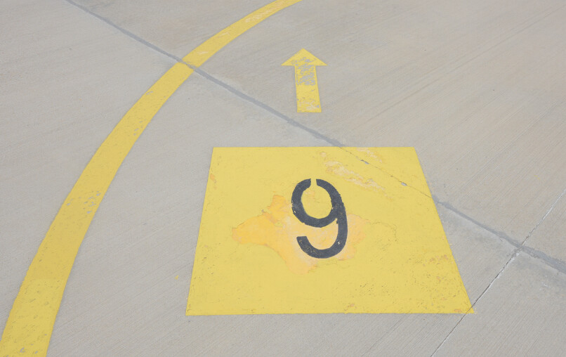
About the definition of the markings. it is limited,
Making them larger is an option, making the background of the image the same color of the apron is another thing that helps
1 Like
Thank you very much for your recommendations. I’ll try.
I tried using 4090x4096 images but the result was much the same. Will try the background idea.
Any advice on how to terraform realisticly in an easy way?
I mean make the arrows larger 
About the size of texture it is irrelevant since ground resolution is very limited (4cm per pixel at best)… technically a e.g. 80x80 image should fit a 2meter square ground sign
(Haven’t done any comparison yet but iirc some people did)
1 Like
Thank you for the clarification. My arrow is as big as it can be. I guess I just need to forget that.
But the elevation differences are annoying and I need to fix that. There’s a hill near the runway where me and my friends do some spotting every year and I want the surrounding area to be realistic.
I created a 3D picture of the area with RenderDoc but couldn’t import that to Blender yet. I hope I am on the right track, because I have no idea on what to do if I can import that data to Blender.
I have not tried changing terrain, but google “terrain mesh” might point in the right direction.
1 Like