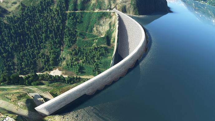
Hi, i’m creating a landmarks package and I want to include the biggest damn in
austria the Kölnbreinsperre. My Problem is that i have no way in the current
SDK to edit the terrain in more detail expect the polygon flatten. Is there
another way or tool that can help getting a good result so that the object
fits to the terrain ?
You can use a polygon and use it as “Terraform”. Just search in the SDK for
“terraform” and on YouTube for “MSFS Terraform Polygon” or something similiar.
I’m sure you should be able to find what you need. Cheers!
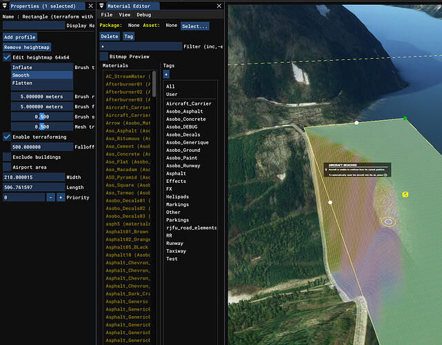
Hello @HRSimYard , You can use the Rectangle
element
and add an heightmap to it. Then it will give you more options to play with
Thanks for the answers. I will look into that.
Honestly, with this kind of slope, you would probably need to make a 3D water
polygon behind the dam, I don’t think MSFS terrain would allow you to make
this slope correctly without additional tricks.

