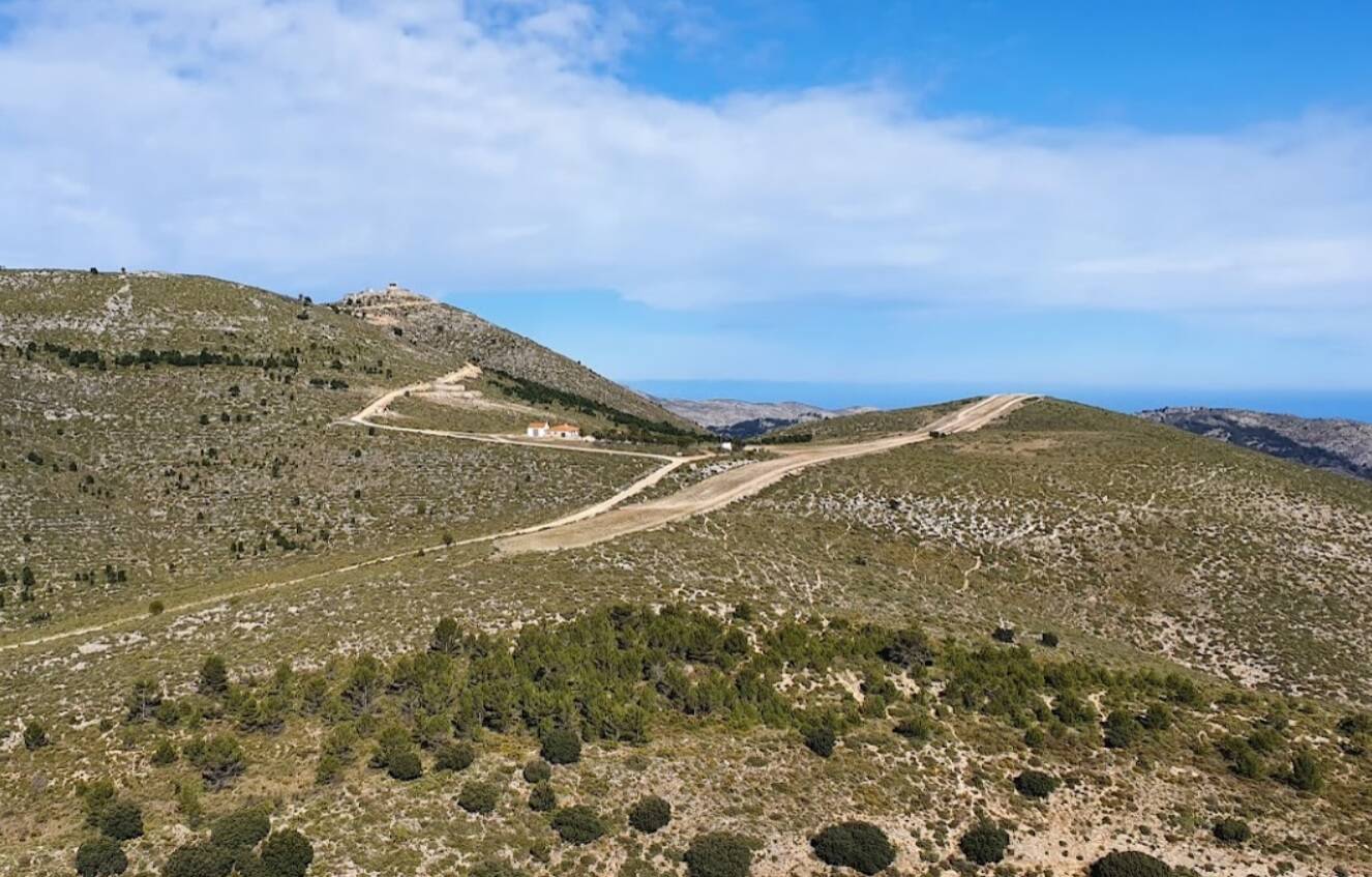
Hi, I noticed the simulator has hidden a much more detailed terrain elevation mesh data over the airfields. Would be awesome if we could select this level of detail while piloting too, don’t? At this moment, taxing, landing… over those flat pans is very uninmersive.
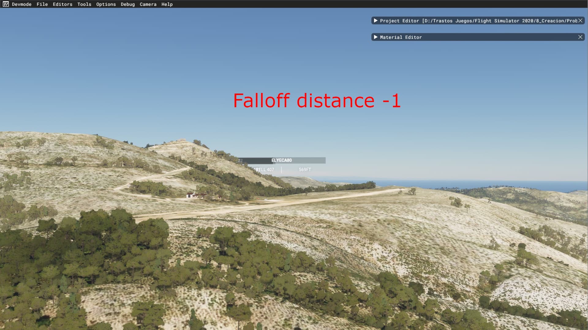
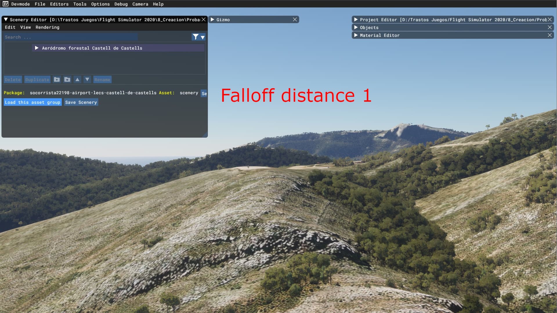
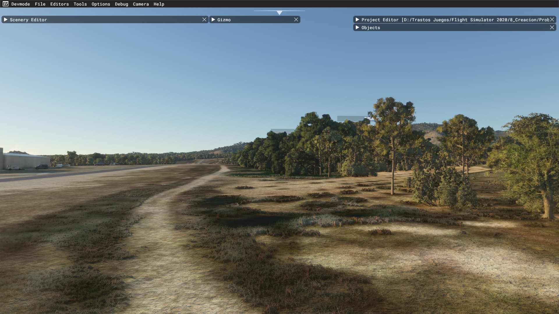
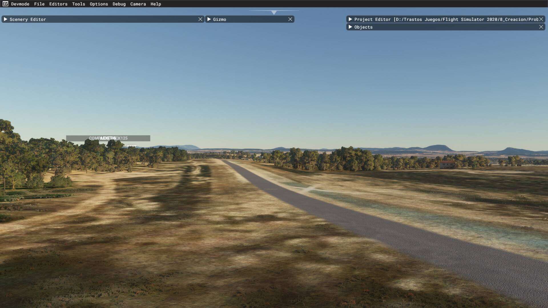
This is the elevation mesh at this moment when you are flying in the sim over the LEOT airfield:

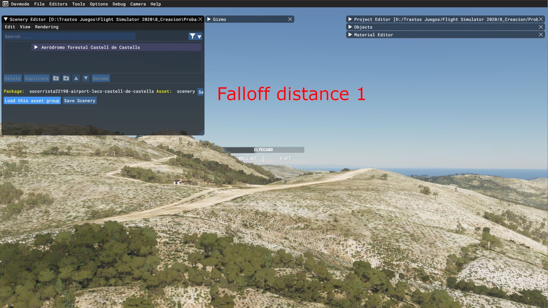
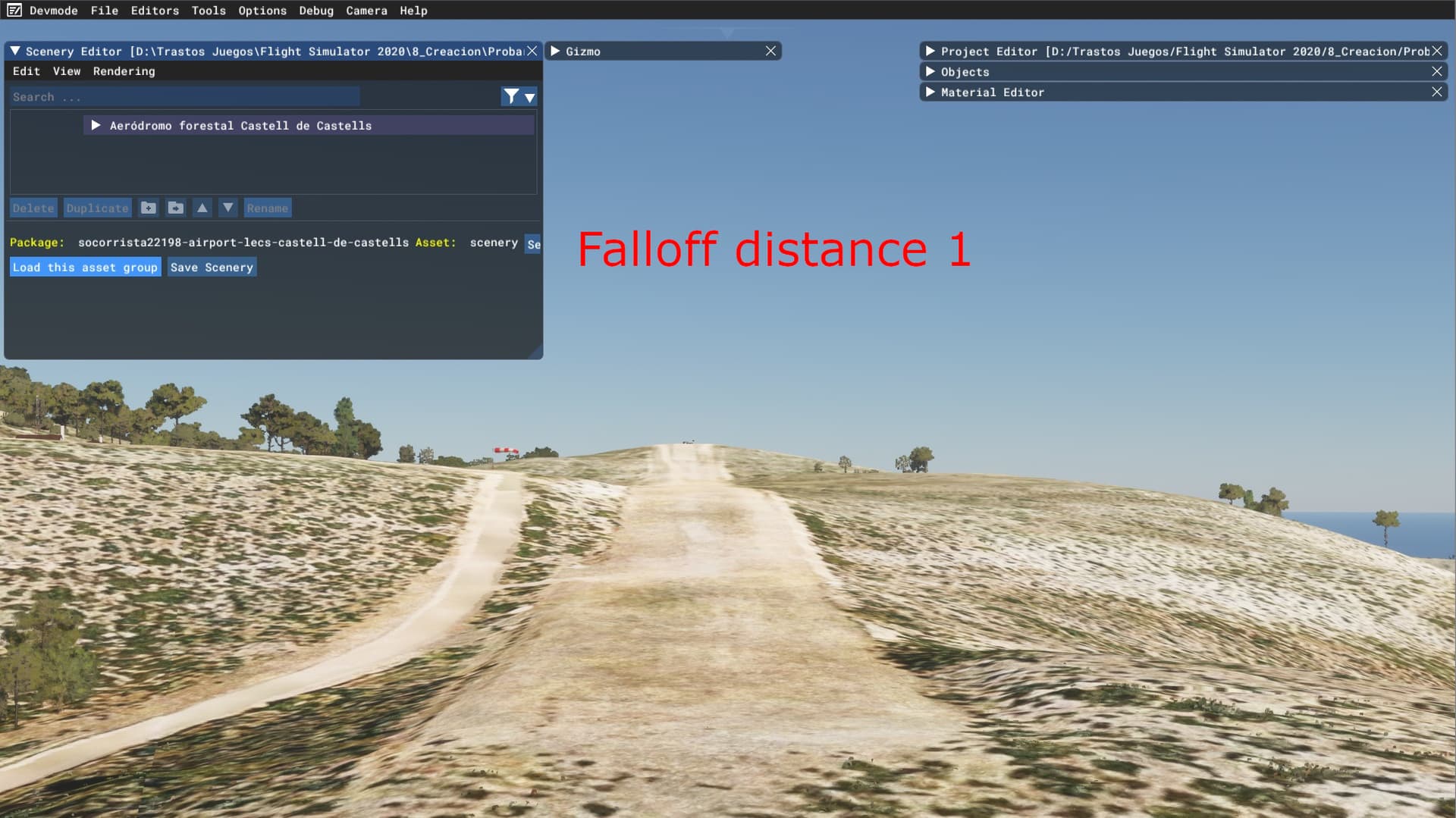
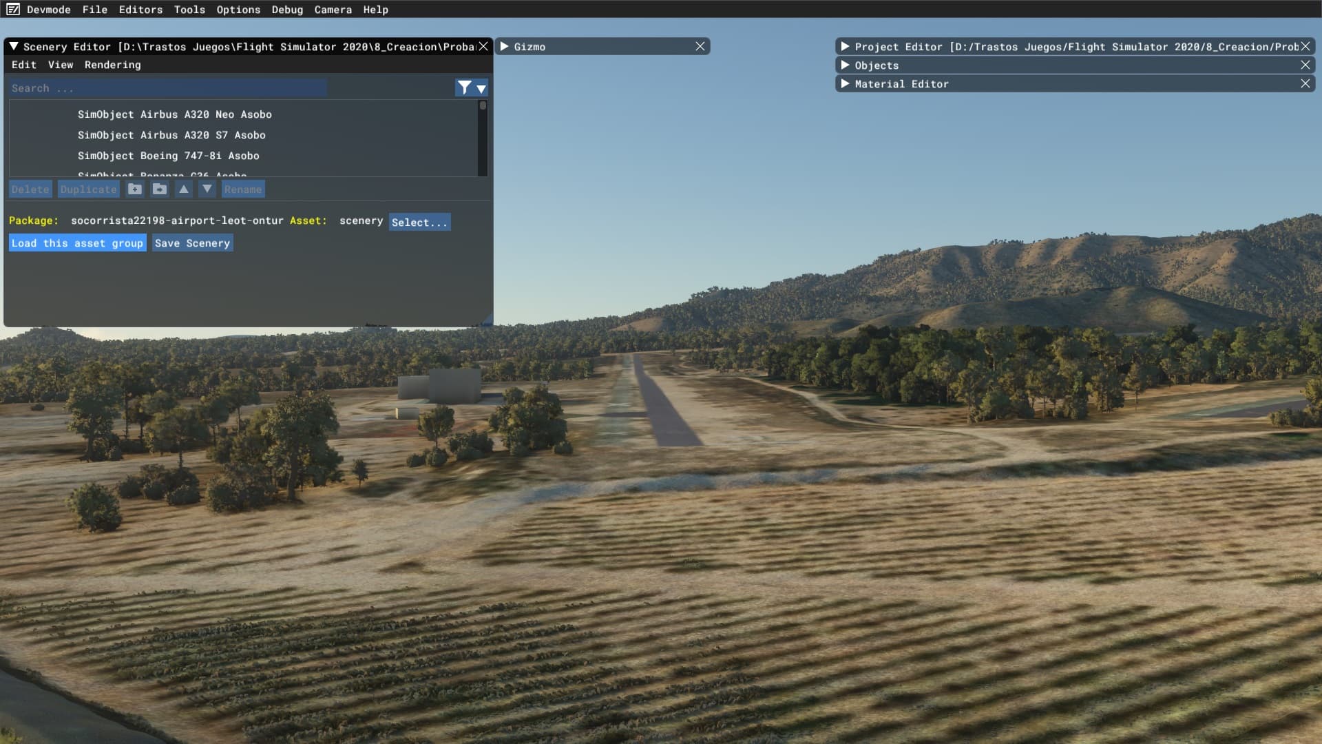
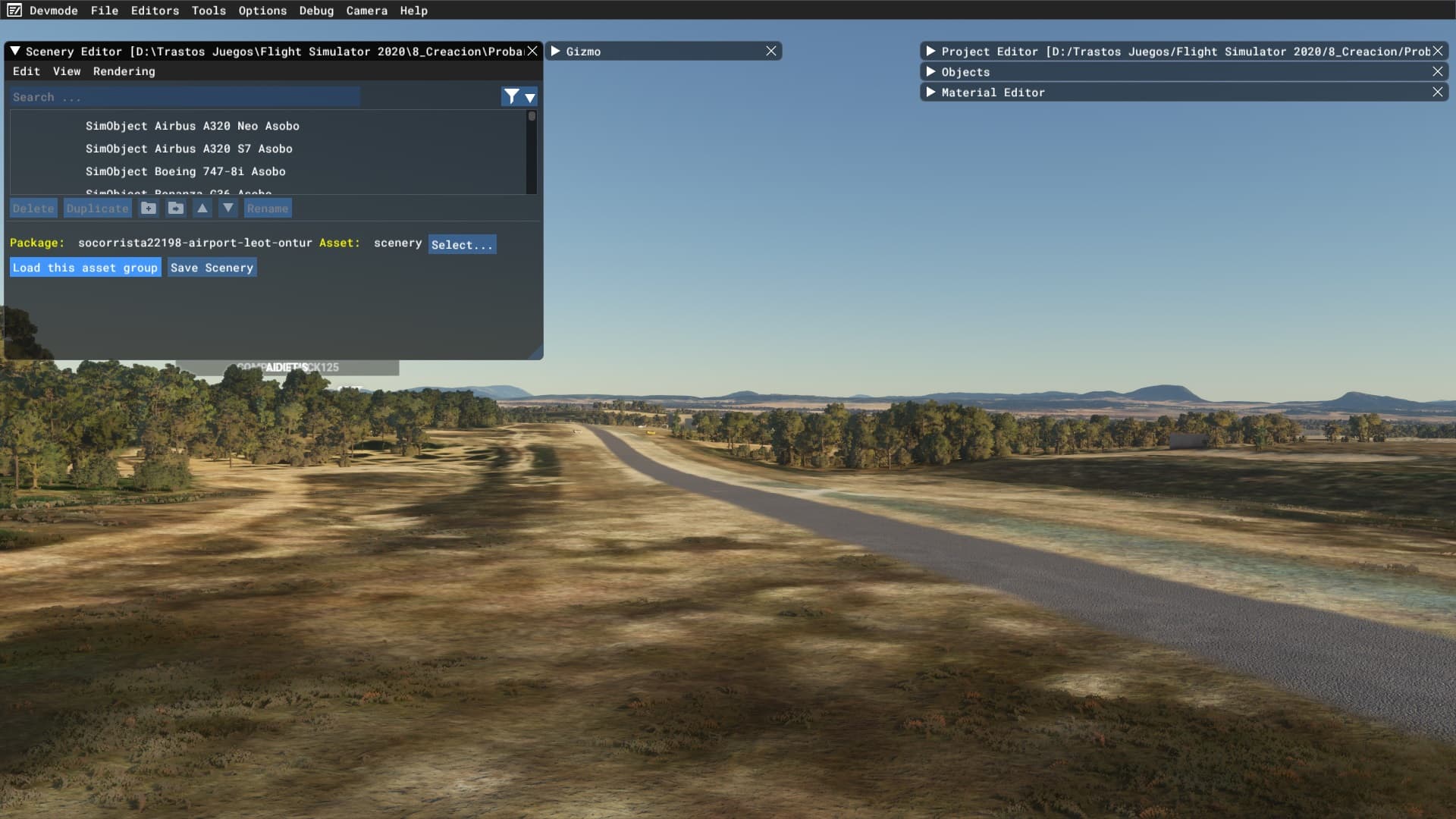
And this is when you open the scenery editor and I load an object, automatically the mesh resolution increases exponentially:
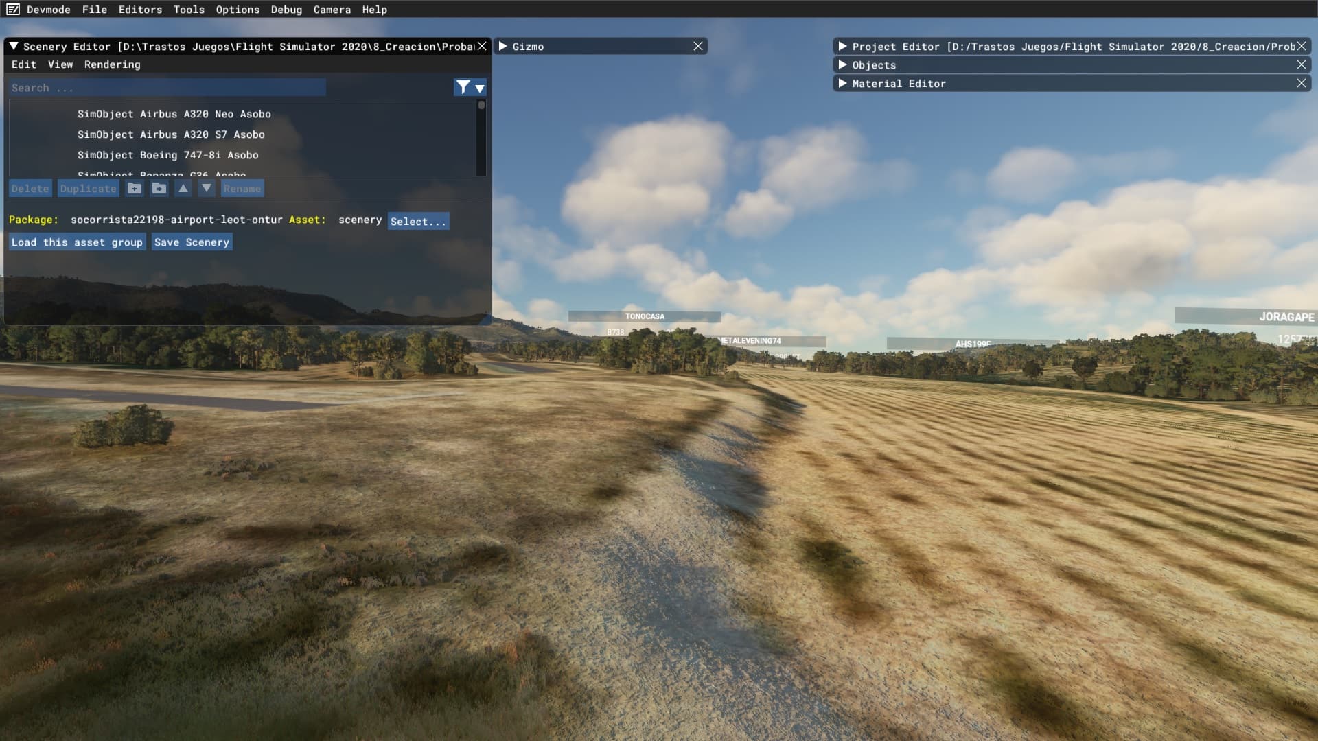
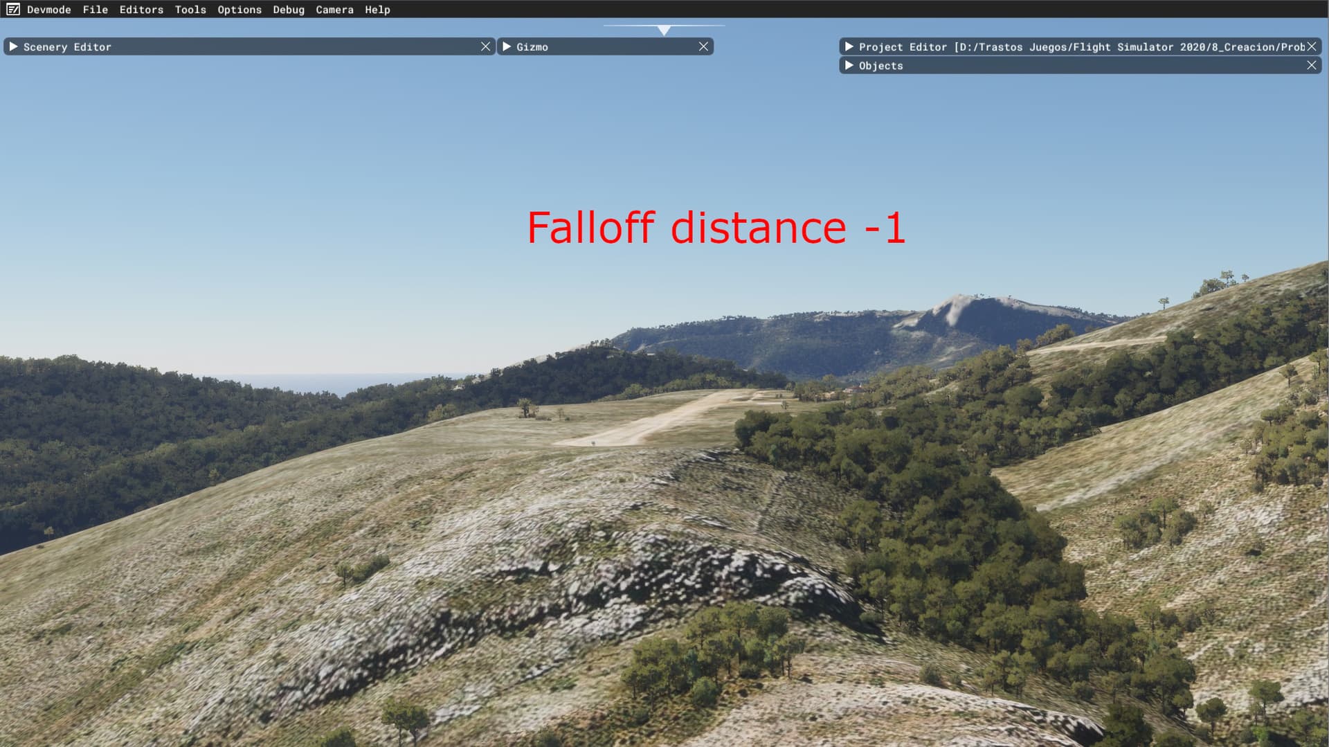
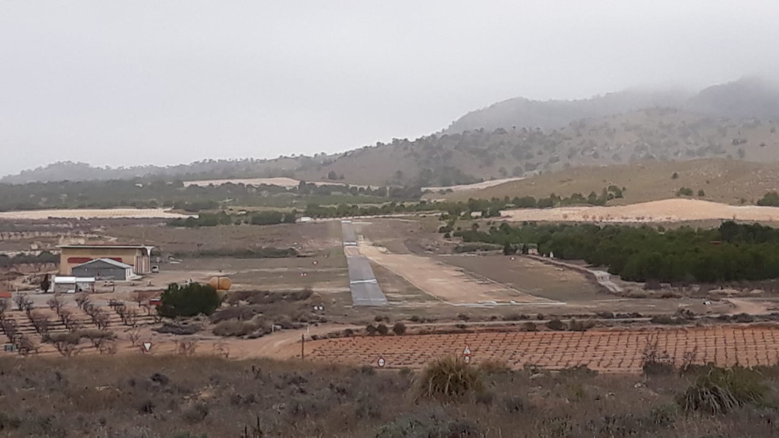
This is the real elevation xD
My question is, is there anyway to have this level of detail while piloting?
In the other forums, @karuchie knows it is caused by the Terraforming Falloff Distance. When I open the scenery editor and load the asset group, the Falloff Distance feature is disabled. Terrain elevation mesh - A cheat for a much more detailed and accurate mesh - #13 by karuchie - Scenery & Airports - Microsoft Flight Simulator Forums
I think would be nice if users could use that level of detail while piloting. For example, if we often pilote over an area without glitched elevation airfields, there is no reason to have this feature enabled (Falloff Distance), and should be an option in graphical settings to disable it and so, increase the mesh resolution, it’s much more realistic and inmersive.
More examples, I think this should be taken in consideration the difference is abysmal, it has no sense to show a flat pan if the simulator has stored a much more accurate relief mesh data for airfields, and those airfields hasn’t elevation glitches.
The real one:
Now:
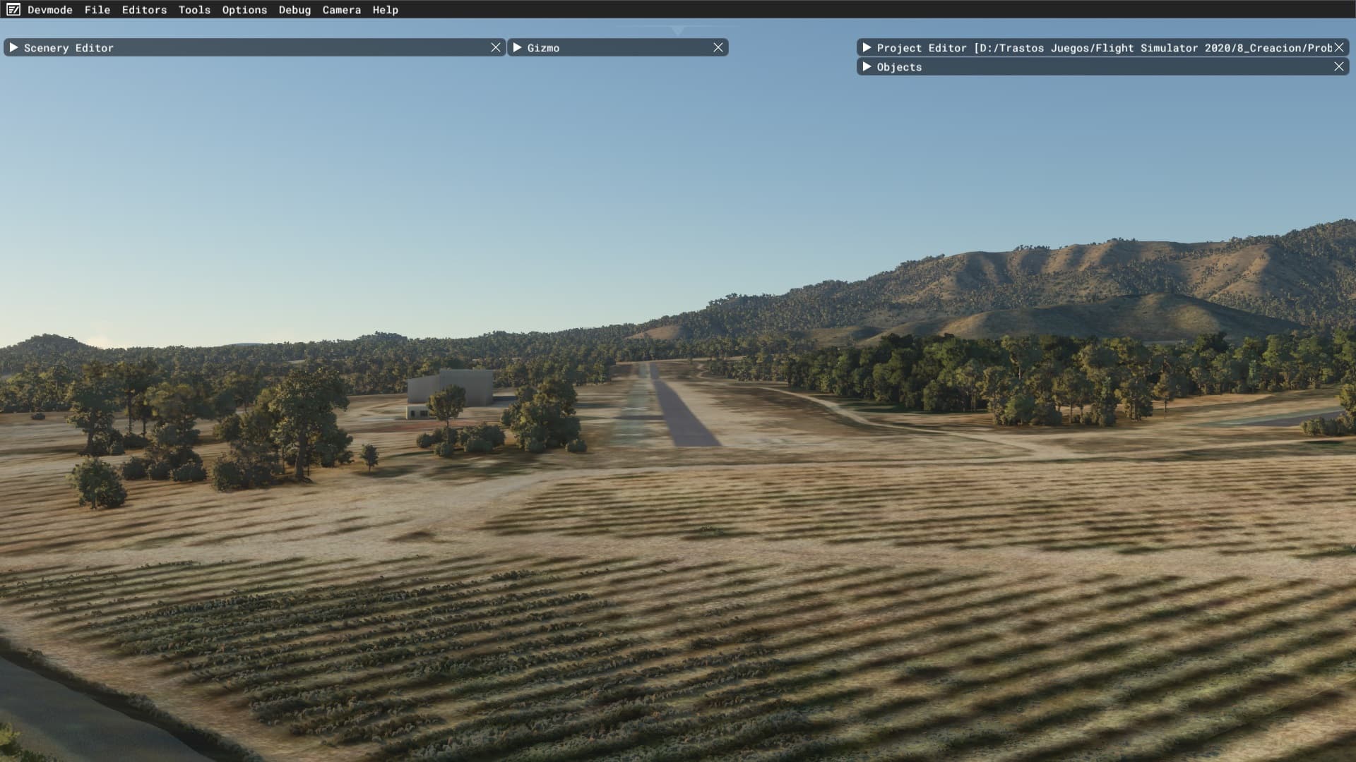
Should be:

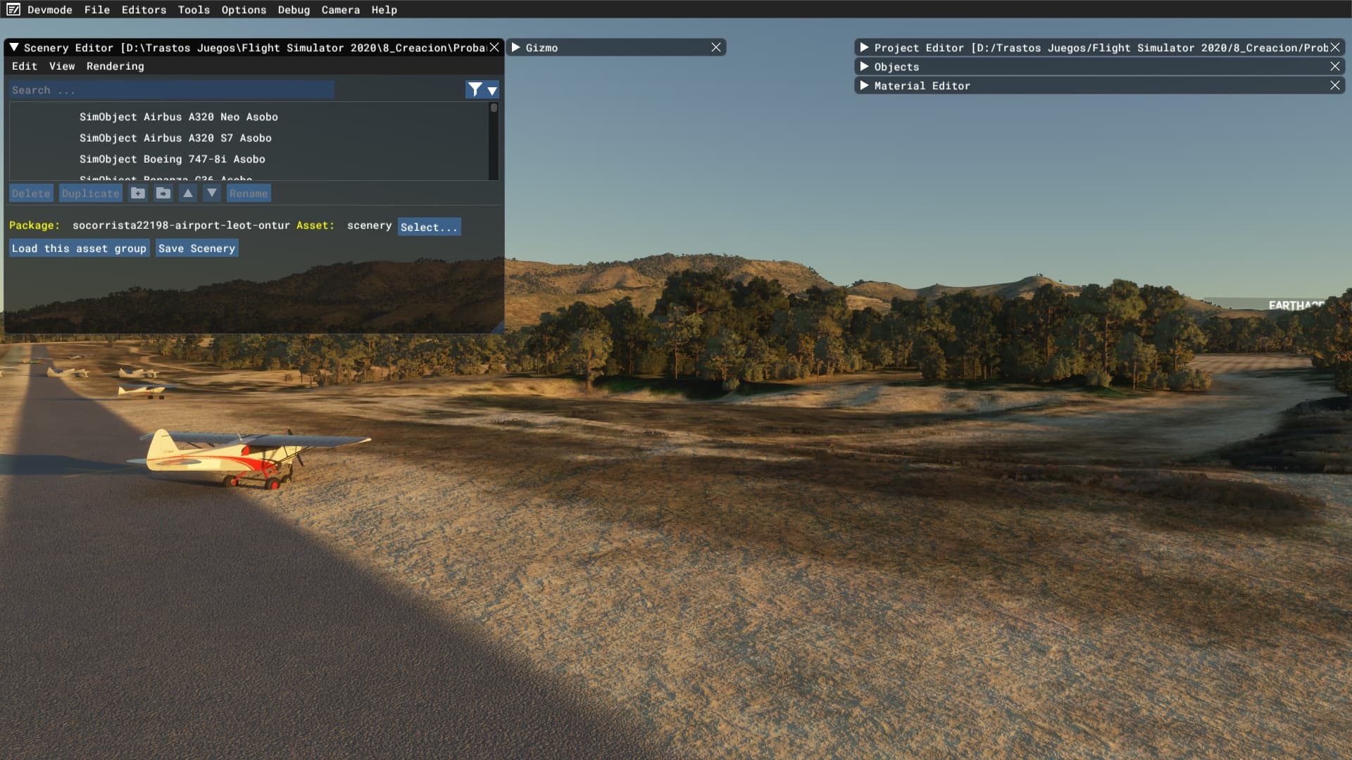


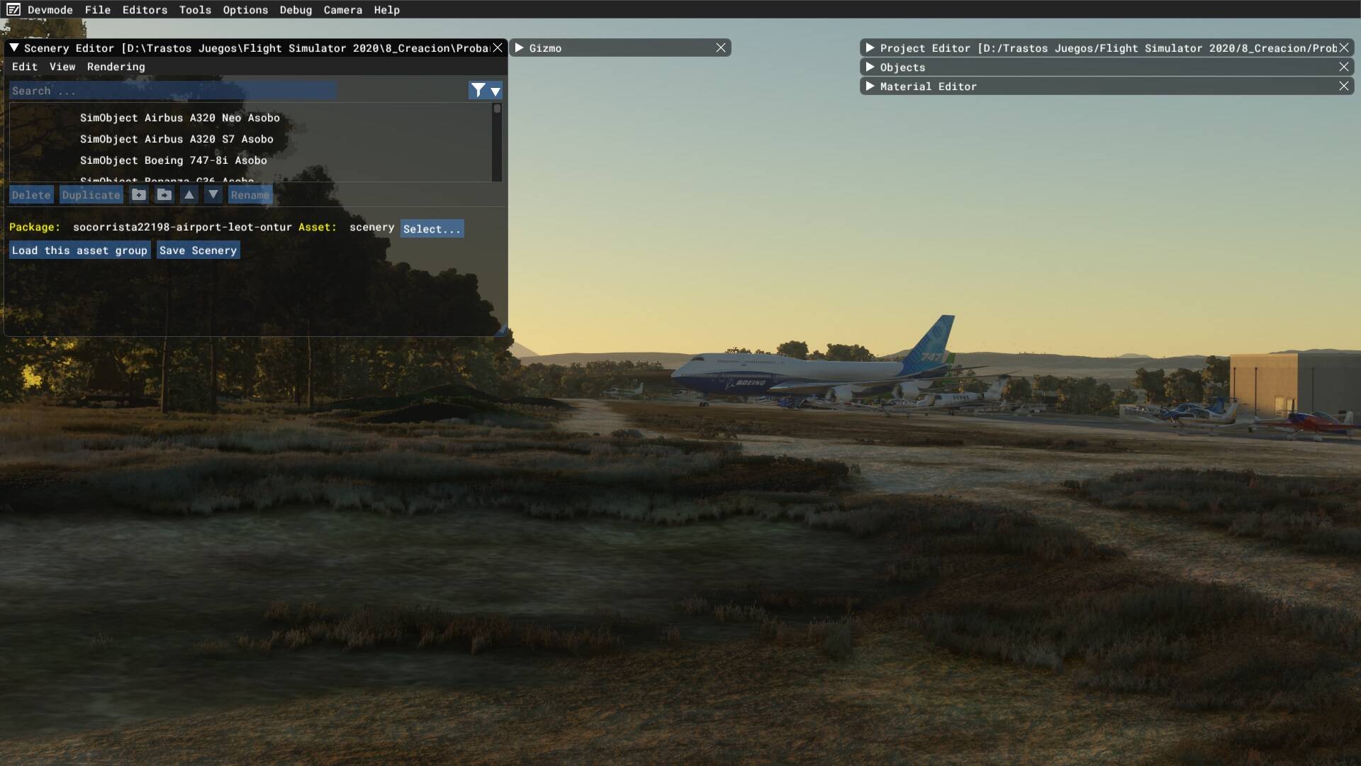
We obviously prefer the detailed mesh, the inmersion sensation increases exponentially, don’t know what is the purpose to flat the relief in the airfields of the entire world because some of them are glitched.
Regards.