Yes, there are at least a couple of threads on this. As I noted in another thread, I’ve been working on an airport in a photogrammetry area. While you can exclude photogrammetry objects (like trees), you can’t “turn off” photogrammetry over an area, at least as far as anyone I’ve seen discuss here.
I also found out that the satellite ground data from photogrammetry is different from what you see if you turn photogrammetry off in the data options.
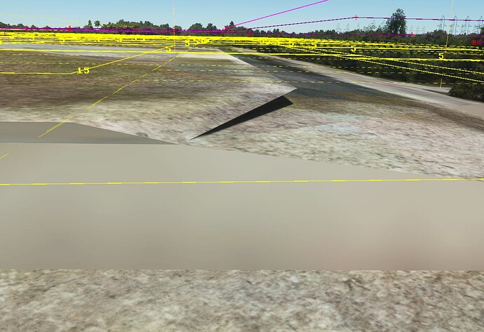
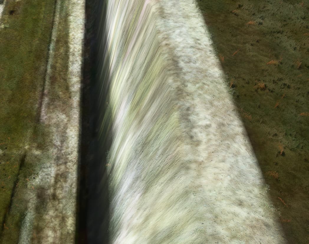
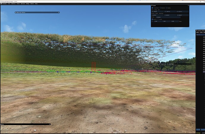
I’ve been working on an airport in Stow/Hudson, Massachusetts, which lies in a photogrammetry area. If I have photogrammetry turned on, when I try to use any terraforming, you end up with the grass following the terraforming, but the “land” is formed much more coursely and randomly than expected, so that you end up seeing grass floating in the air like a hill and empty under it. The sim also pretty much ignores all terraforming and kind of does its own thing.
Upshot being, if I ever release the airport, I’m going to let users know they have to turn photogrammetry off for the sim, since there’s no way that I can see of locally suppressing all photogrammetry “features”. I’d be happy if perhaps I could say turn it off on this whole tile, but, that’s not currently possible.
As much as I like flying over photogrammetry, it destroys our ability to create airports (not to mention those ugly, ugly trees). I don’t know how Asobo/Gaya etc. get around the terraforming issues. Maybe through editing CGL somehow? Or maybe Microsoft adjusts the photogrammetry and deletes it for their first party airports?
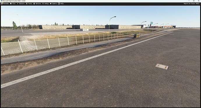
(not to mention that in general, especially with photogrammetry turned on, terraforming in general looks different in dev mode than in normal mode, which is another issue).
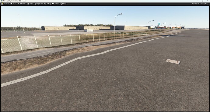
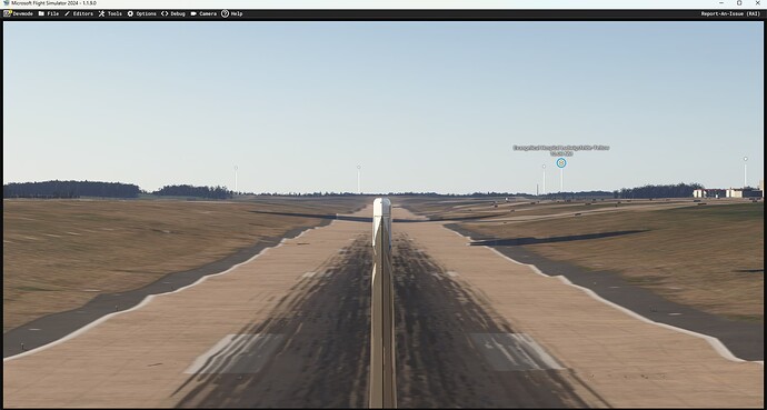
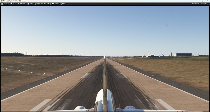
Here’s an example of the floating grass showing what the terraforming “should” look like, with the land far below. This is a polygon terraform, but I get similar issues with rectangle terraforms, though mostly with rectangles it just looks awful with photogrammetry turned on vs off.
I’ll post a few more images later.
